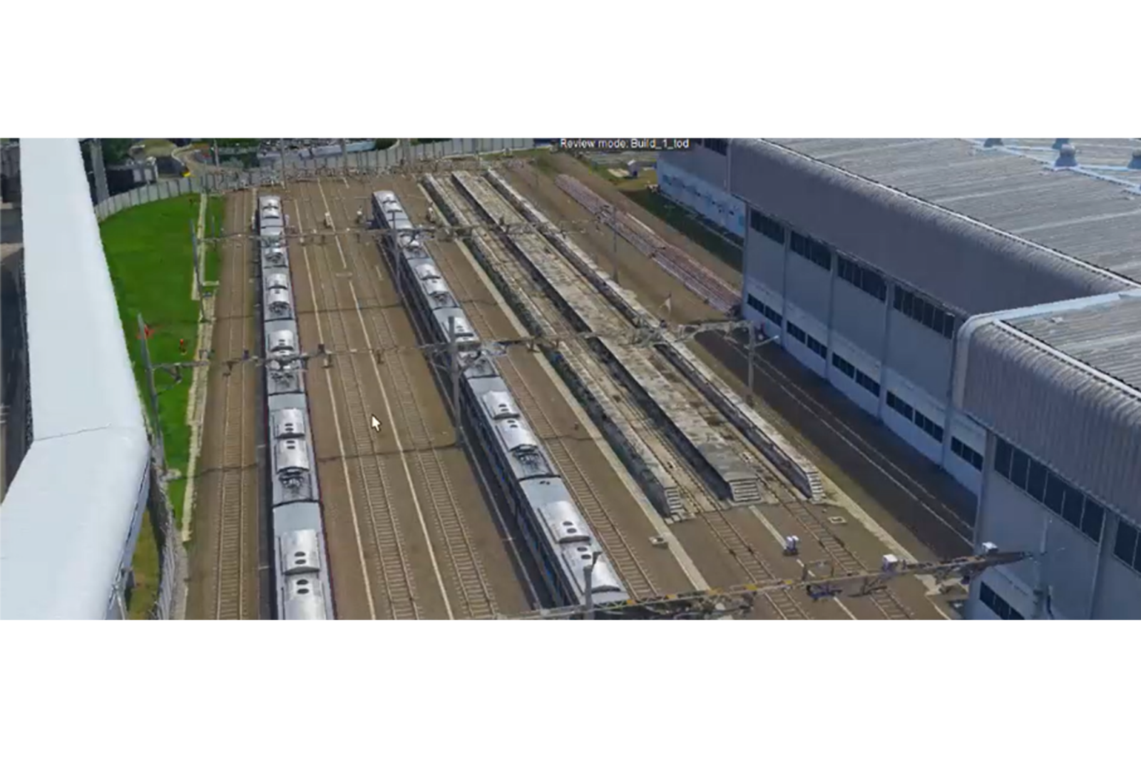
Transit Oriented Development (TOD) Kegiatan pemotretan udara menggunakan Oblique Camera di kawasan TOD Lebak Bulus dilakukan...
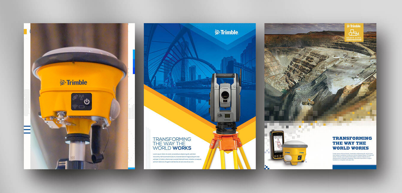


GovernmentOil & GasMiningPrivate Companies


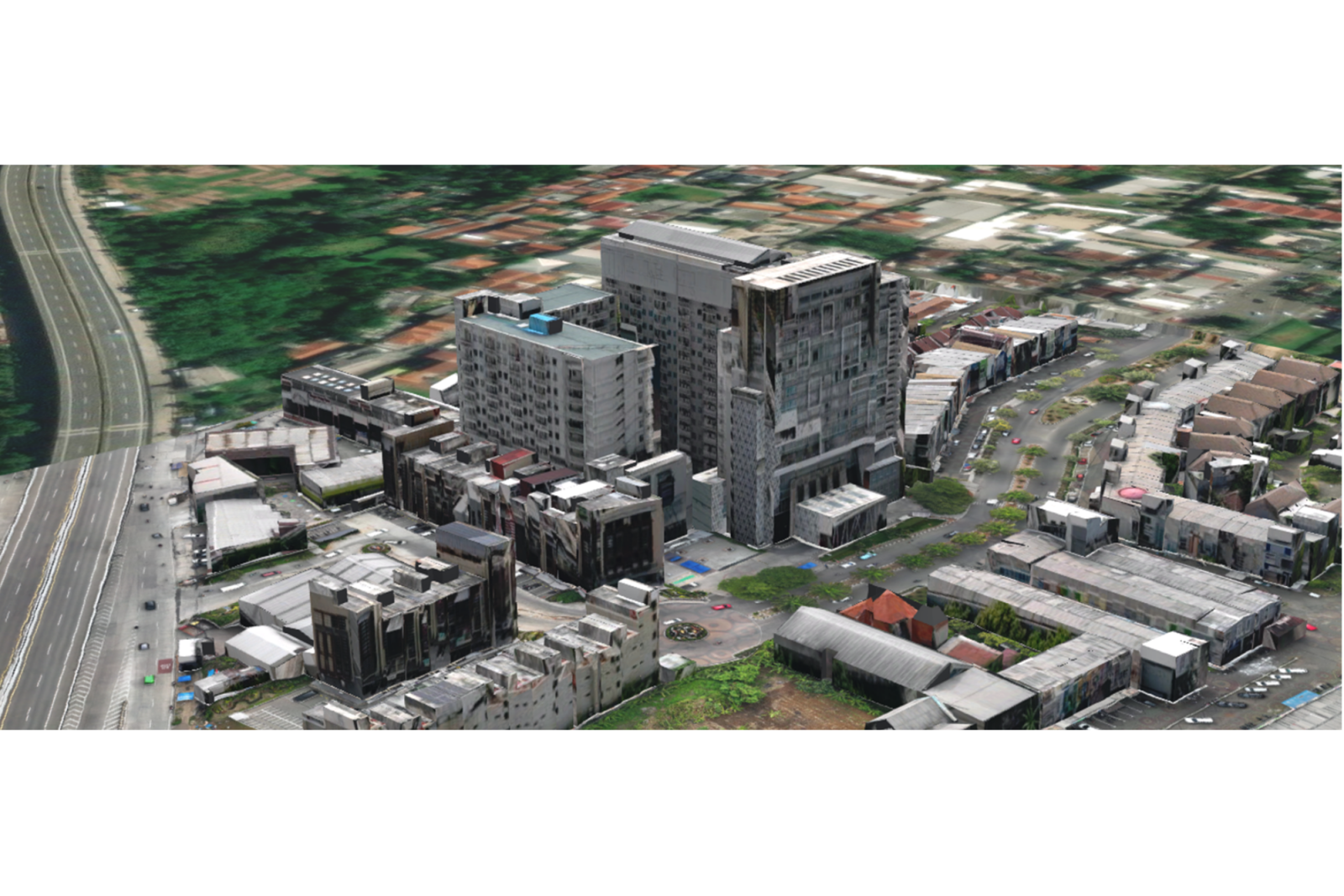
URBAN 3D MAPPING – KOTA BOGOR
URBAN 3D MAPPING – KOTA BOGOR Kegiatan Urban 3D Mapping di kawasan gedung Kota Bogor dilakukan...
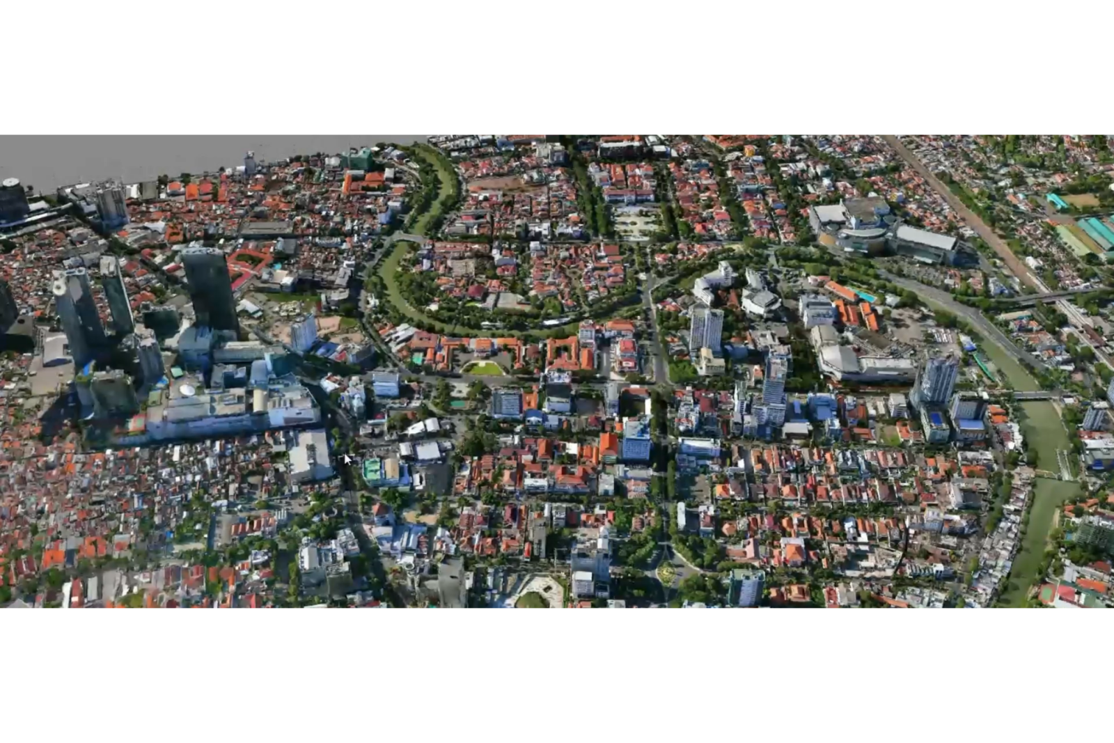
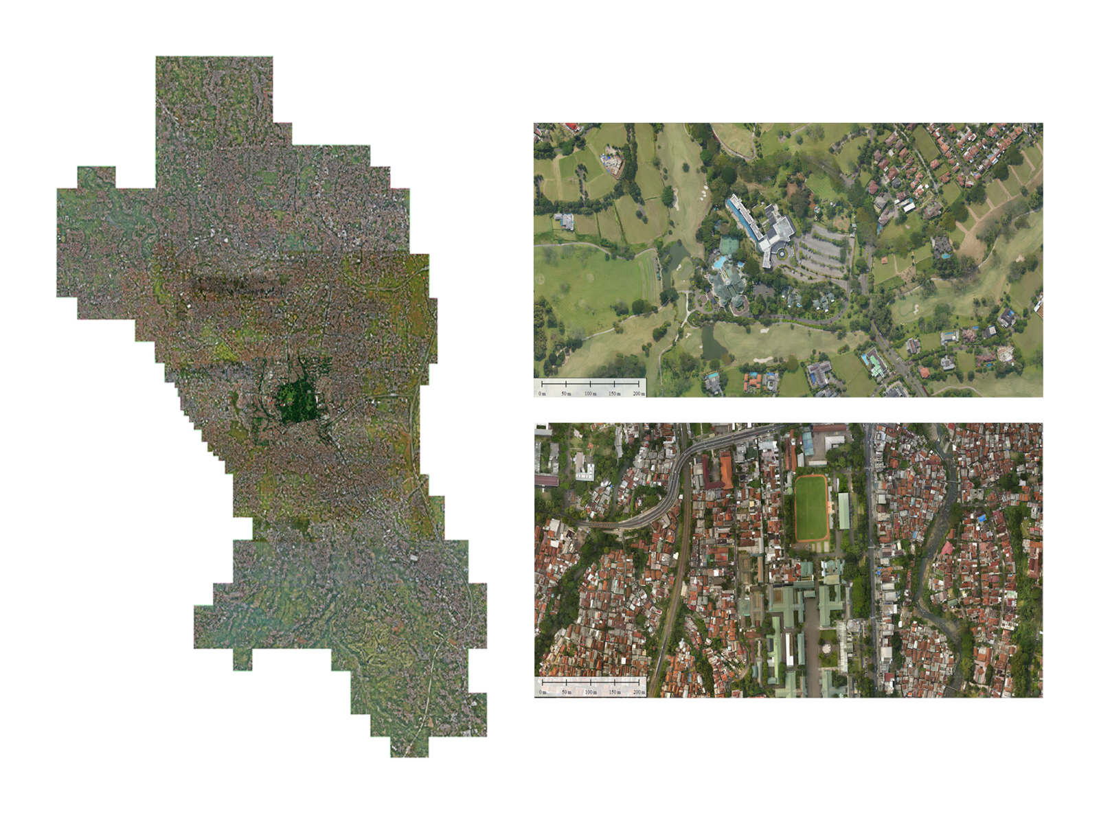
URBAN 3D MAPPING – KOTA SURABAYA
URBAN 3D MAPPING – KOTA BOGOR Kegiatan Urban 3D Mapping di kawasan gedung Kota Surabaya dilakukan...
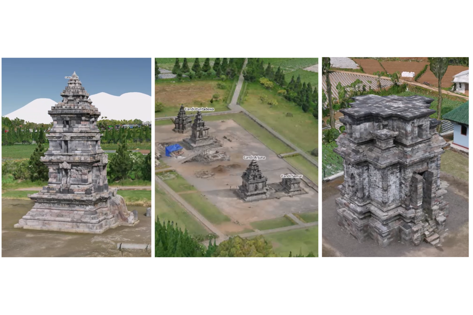
ASSET MANAGEMENT CANDI DIENG
ASSET MANAGEMENT CANDI DIENG Kegiatan Asset Management Candi Dieng dilakukan untuk mendukung pendataan, pemetaan, dan pengelolaan...
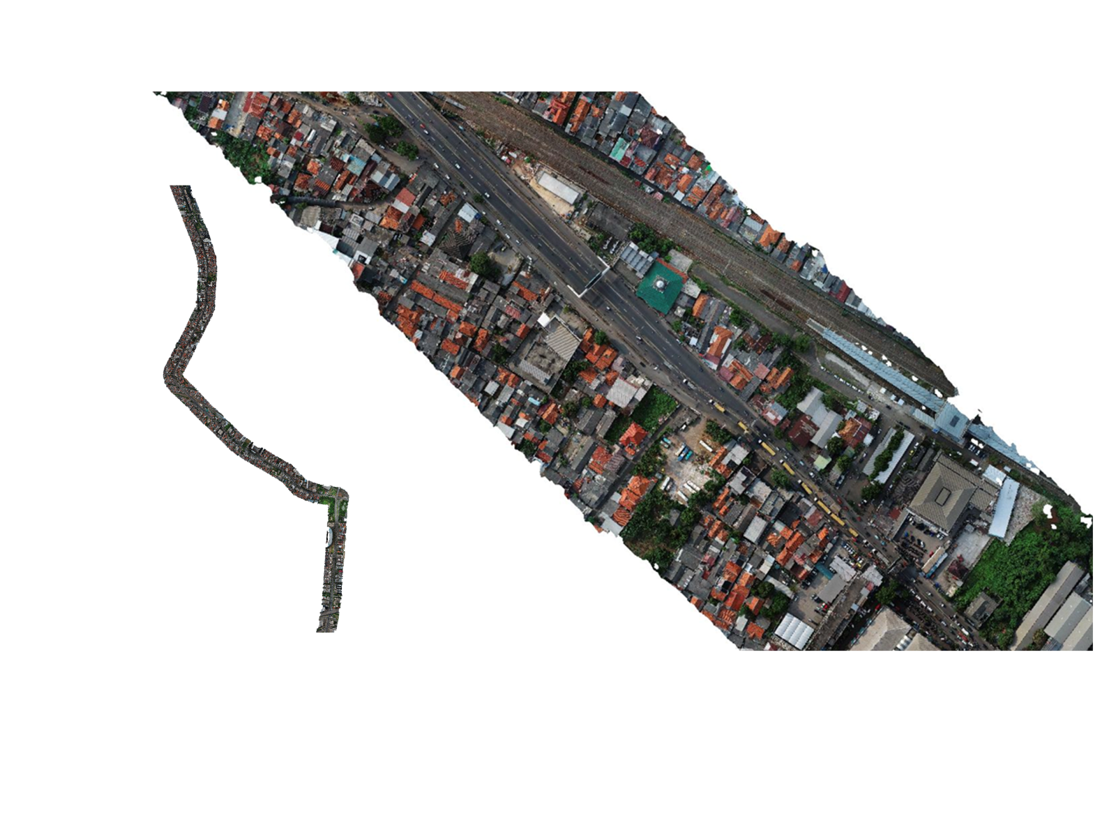
JALAN NASIONAL (ROAD NATIONAL) – BINA MARGA PUPR
Pantura Jabar Road National+/- 400km
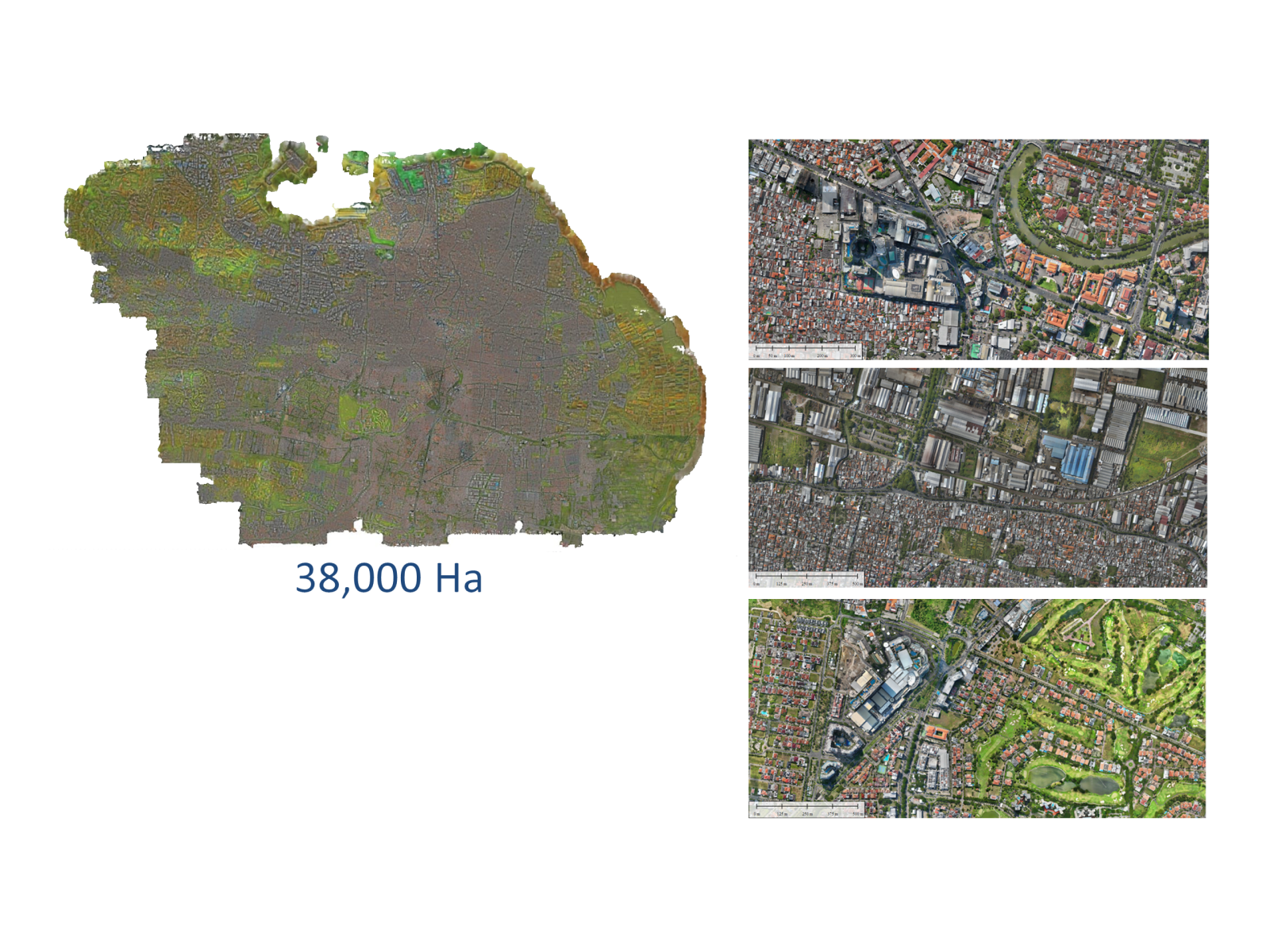
KEMENTERIAN ATR/BPN KOTA SURABAYA
PEMETAAN UDARA & LiDAR Wilayah Kota Surabaya.
KEMENTERIAN ATR/BPN KOTA BOGOR
PEMETAAN UDARA & LiDAR Wilayah Kota Bogor.
RUANG LEGAL SATUAN RUMAH SUSUN – ATR BPN
RUANG LEGAL SATUAN RUMAH SUSUN – ATR BPN Kegiatan 3D Cadastre Ruang Legal Satuan Rumah Susun...
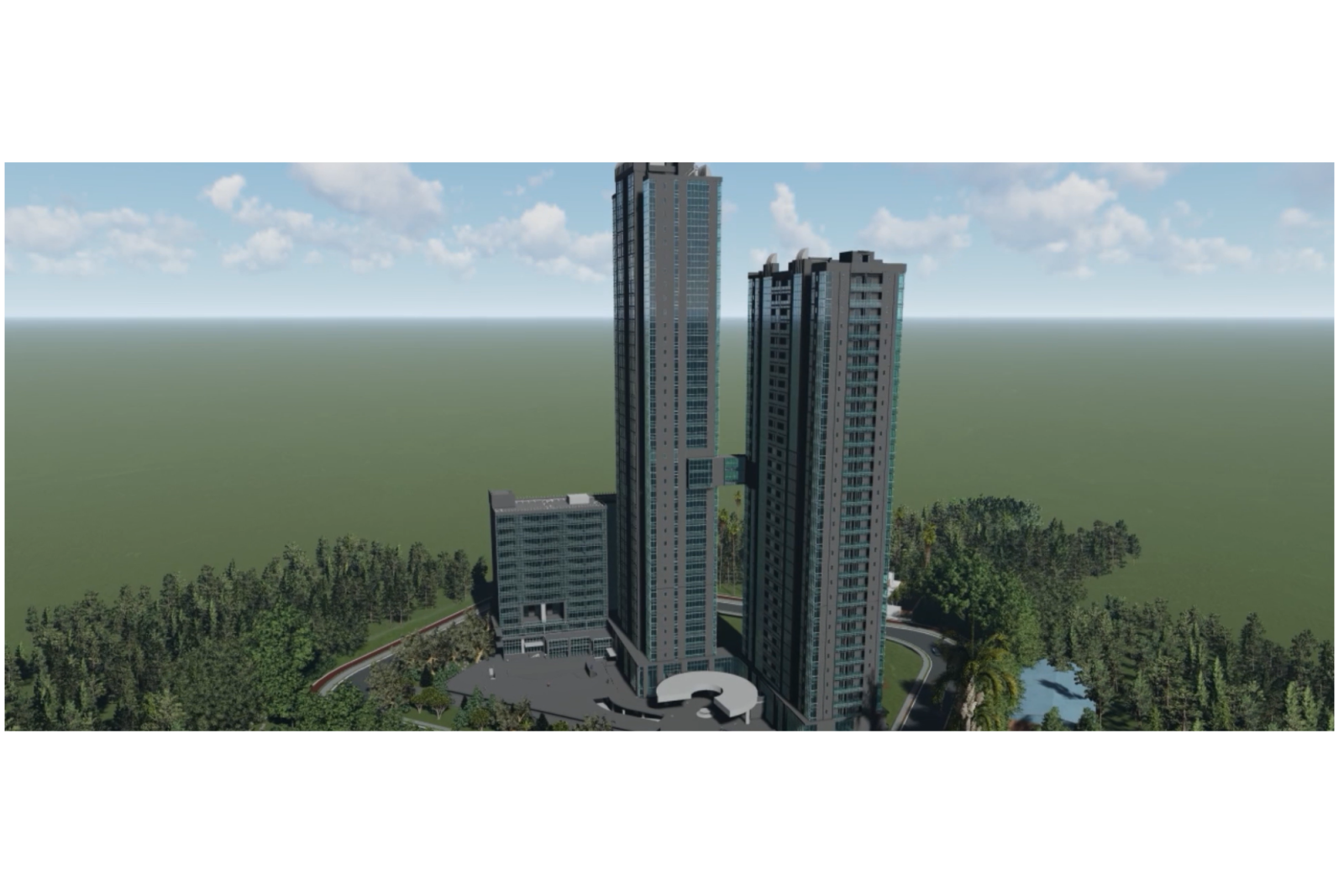
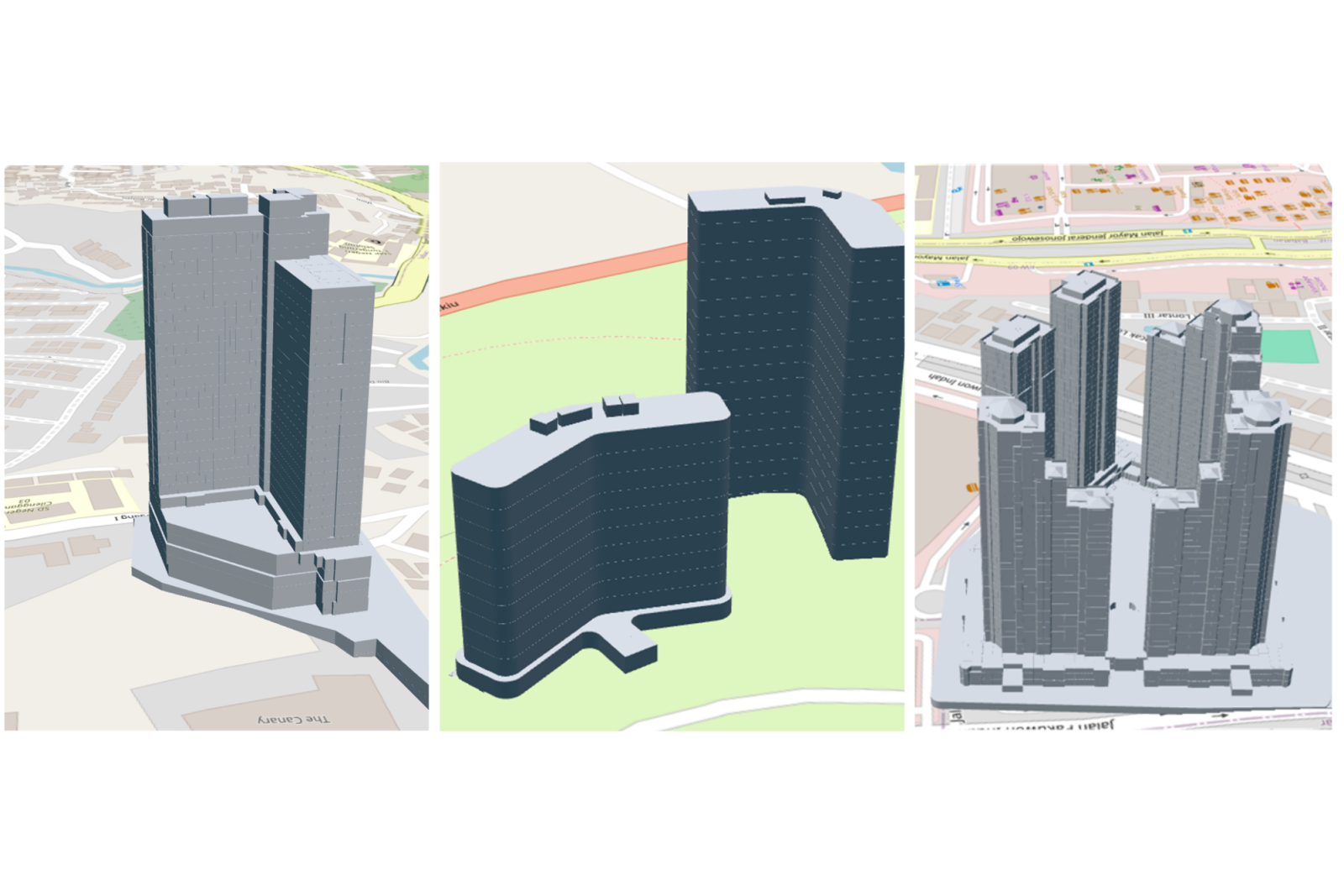
THE GROVE – BAKRI TOWER
THE GROVE – BAKRI TOWER Kegiatan pemetaan dan visualisasi kawasan The Grove – Bakrie Tower dilakukan...
BAHTERA MAS BRIDGE – KENDARI, SULAWESI TENGGARA
THE GROVE – BAKRI TOWER Kegiatan pemetaan dan visualisasi kawasan The Grove – Bakrie Tower dilakukan...

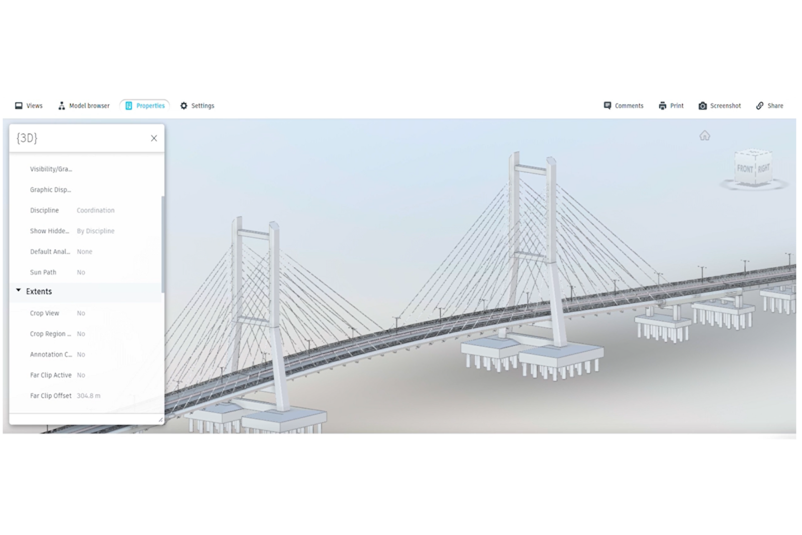
PULANG BALANG BRIDGE (IKN) – BALIKPAPAN, KALIMANTAN TIMUR
PULANG BALANG BRIDGE (IKN) – BALIKPAPAN, KALIMANTAN TIMUR Kegiatan Scan to BIM and Digital Twin pada...
JALAN TOL MBZ 3D DATA
JALAN TOL MBZ 3D DATA Kegiatan MBZ 3D Data dilakukan untuk menghasilkan data dan model tiga...

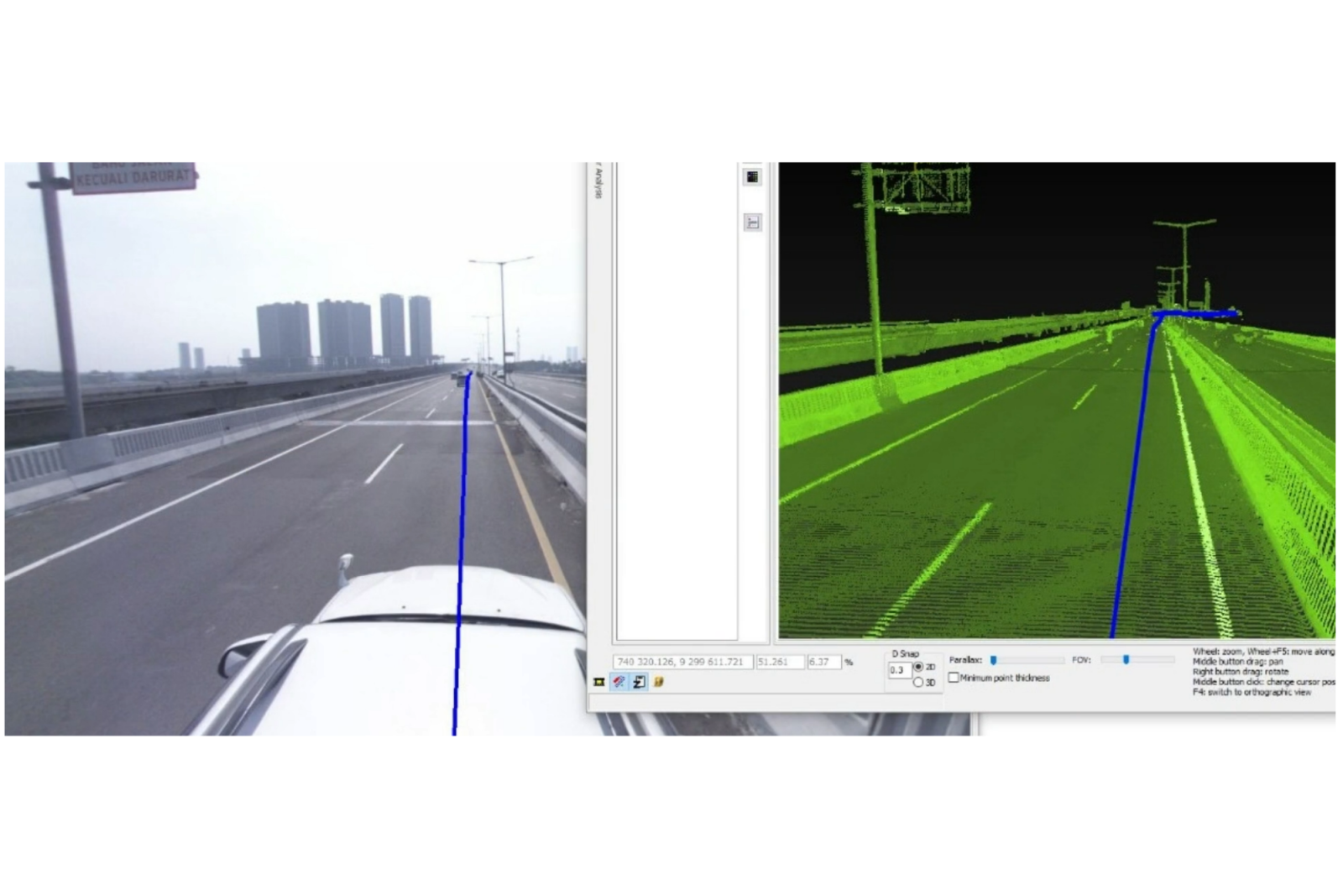
MOBILE MAPPING SCANNER FOR ROAD ASSET MONITORING
Kegiatan Mobile Mapping Scanner for Road Asset Monitoring dilakukan untuk memperoleh data spasial jalan dan aset...
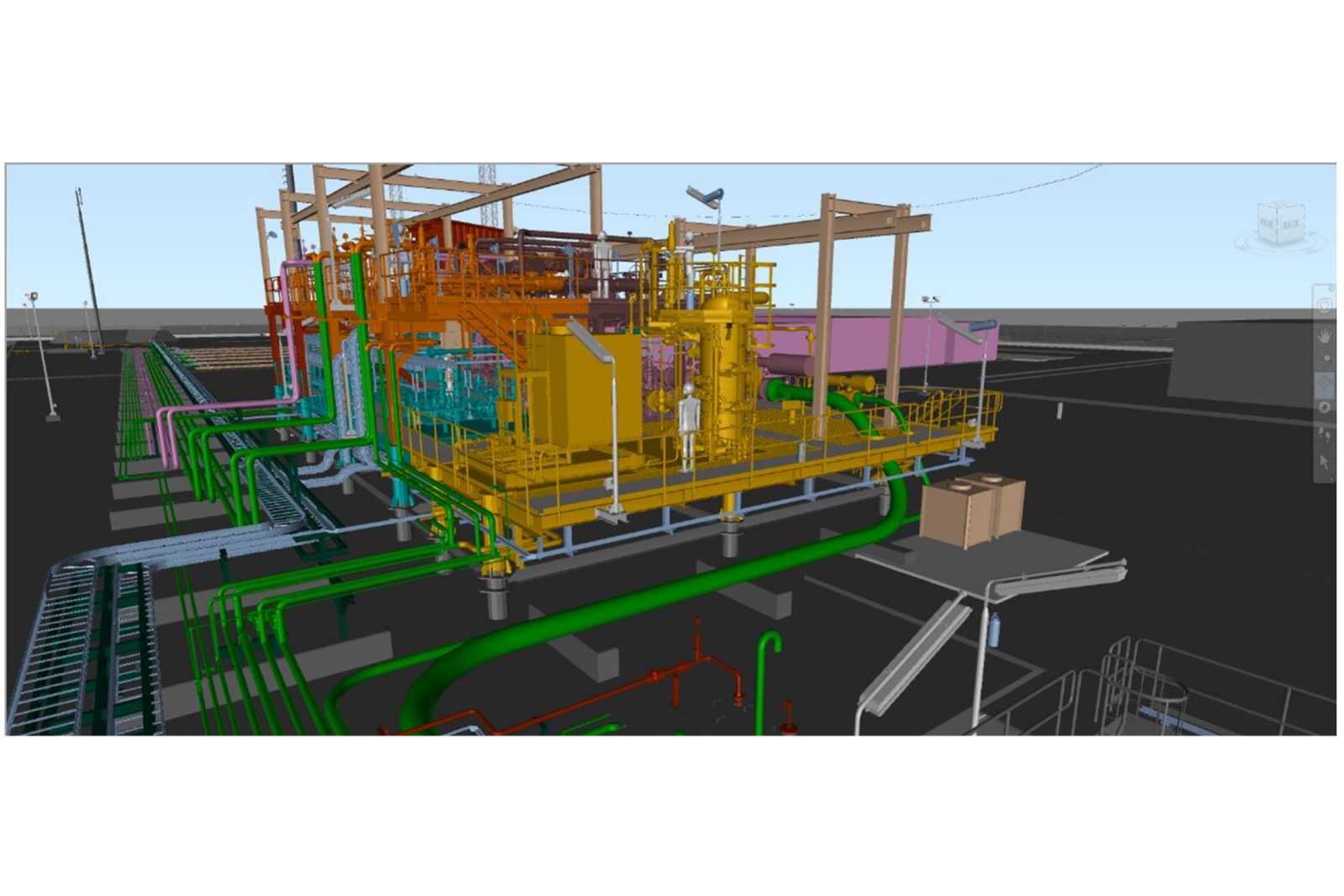
PGN SAKA ENERGI
Kegiatan Oil & Gas Digital Twin untuk PGN Saka Energi dilakukan guna menghasilkan representasi digital aset...
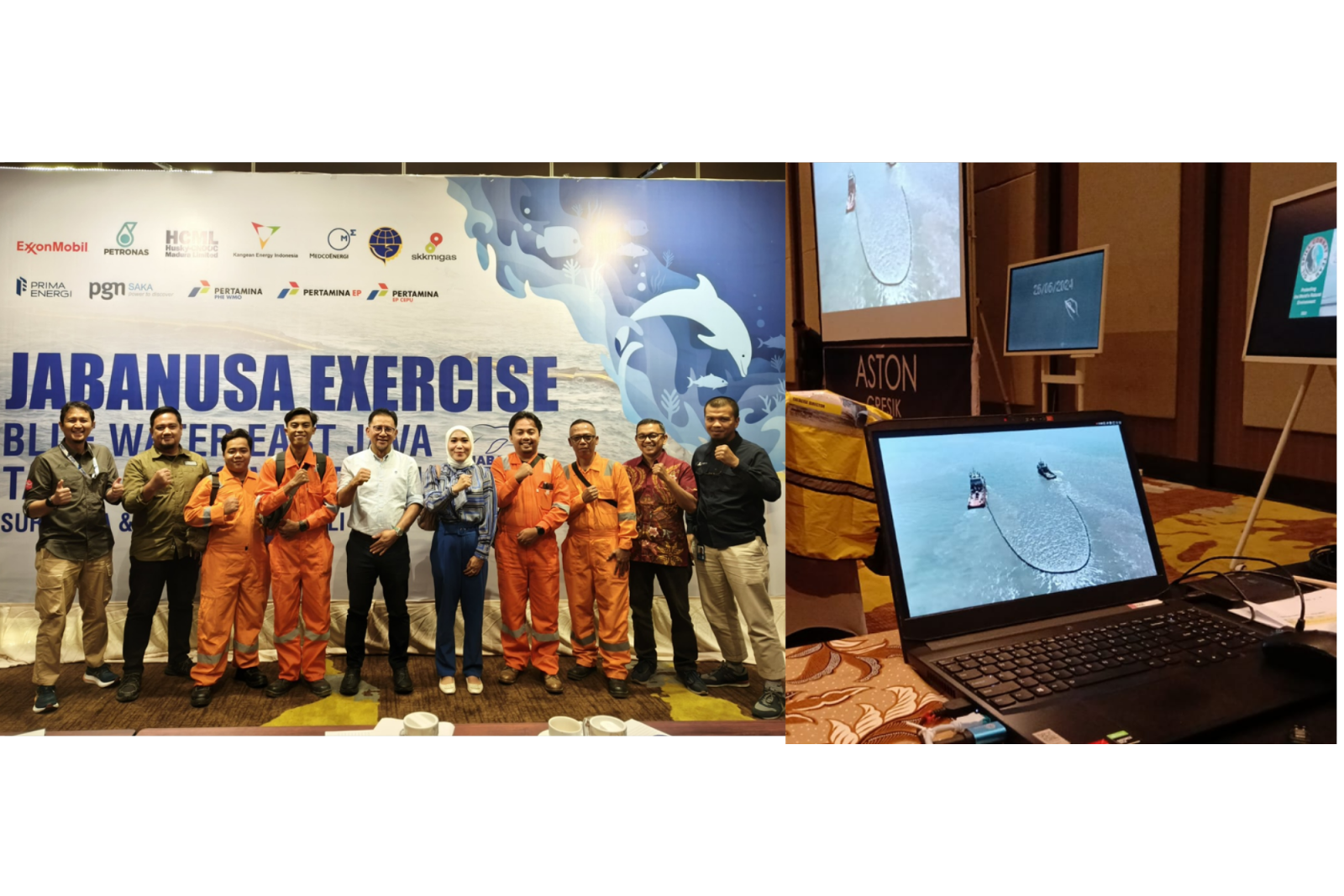
MARINE POLLUTION EXERCISE – GRESIK, JAWA TIMUR
Kegiatan Marine Pollution Exercise di Gresik, Jawa Timur dilakukan untuk mendukung simulasi dan monitoring penanganan pencemaran...
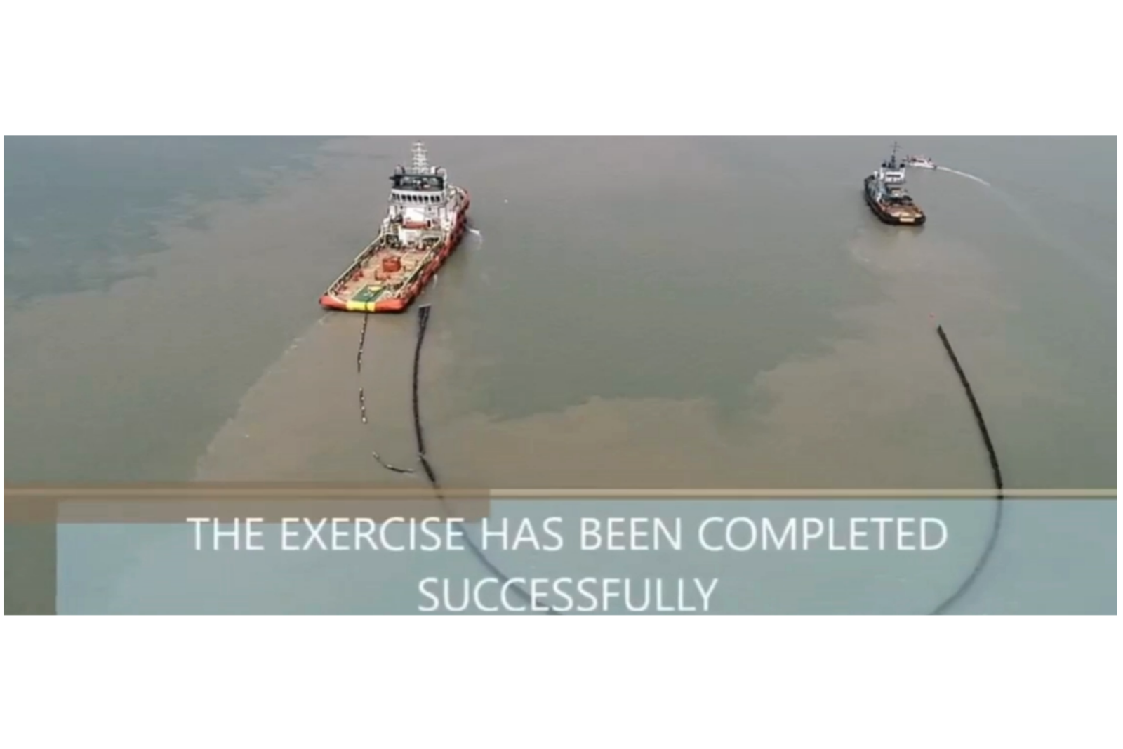
OIL SPILL EXERCISE – GRESIK, JAWA TIMUR
Kegiatan Oil Spill Exercise di Gresik, Jawa Timur dilakukan untuk mendukung simulasi penanganan tumpahan minyak melalui...
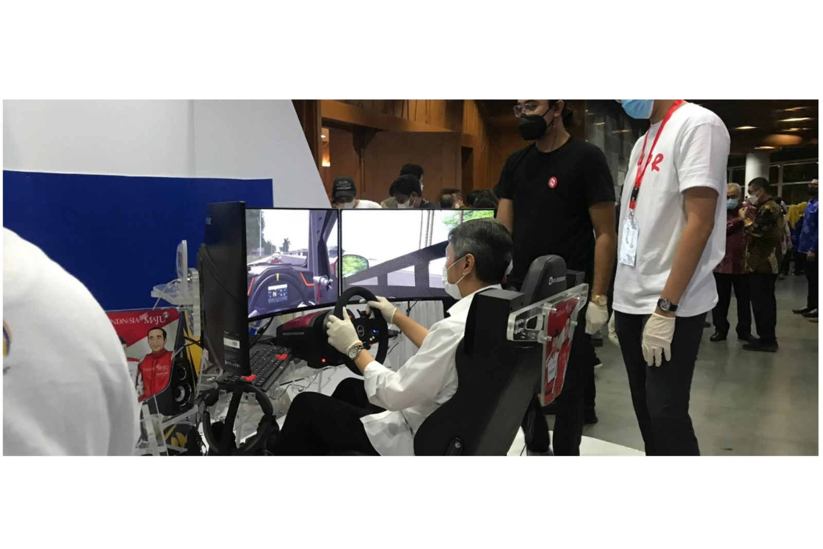
ROAD SIMULATOR – DED NEW TOLL ROAD – GILIMANUK
Kegiatan Simulator, VR & AR from Digital Twin to Simulator pada proyek Road Simulator – DED...
Copyright © 2026 Paruh Anggang, All rights reserved.